


APPALACHIAN TRAIL: CALF MOUNTAIN TO RAVEN ROCK #1505
APPALACHIAN TRAIL: CALF MOUNTAIN TO RAVEN ROCK #1505
SKU:749717915053
Out of stock
Couldn't load pickup availability
Collapsible content
Description
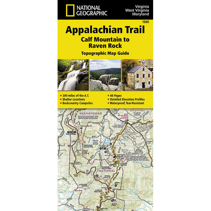
The Calf Mountain to Raven Rock Topographic Map Guide makes a perfect traveling companion when traversing the northern Virginia section of the Appalachian Trail (A.T.). The map covers the area between the southern tip of Shenandoah National Park and the Maryland-Pennsylvania state line and gives hikers an excellent opportunity to experience the Blue Ridge Mountains while still remaining relatively close to towns and highways. The map and trail profile provide a step by step visual guide to hiking the trail, mile by rugged mile. The Topographic Map Guide is built for all levels of hiking enthusiasts, from the day tripper to the multi month 'thru-hiker'. The front pages of the printed Topographic Map Guide include resupply information, town inset maps, camping options, and much more. Other features found on this map include: Ashby Gap, ATC Headquarters and Visitor Center, Bearfence Shelter, Black Rock, Blackburn Trail Center Shelter, Blackrock Shelter, Bluemont, Boonsboro, Byrds Nest #3 Shelter, Calf Mtn, Calf Mtn Shelter, Charles Town, Cowall Shelter, Crampton Gap Shelter, David Lesser Shelter, Dicks Dome Shelter, Ed Garvey Shelter, Gathland State Park, Gravel Springs Shelter, Greenbrier State Park, Harpers Ferry, Harpers Ferry National Historic Park, Hightop Shelter, Jim and Molly Denton Shelter, Linden, Manassas Gap Shelter, Pass Mountain Shelter, Pen Mar, Pine Knob Shelter, Pinefield Shelter, Raven Rock, Raven Rock Shelter, Rock Spring Shelter, Rockfish Gap, Rocky Run Shelter, Rod Hollow Shelter, Sam Moore Shelter, Shenandoah National Park, Sky Meadows State Park, Snickers Gap, South Mtn State Park, Stony M