


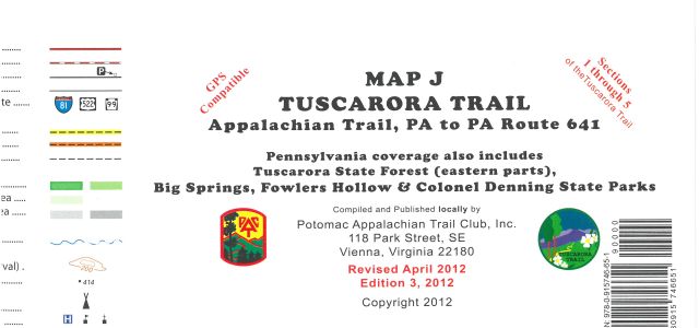
Potomac Appalachian Trail Club Map J: Tuscarora Trail - Appalachian Trail, PA to PA Route 641
Potomac Appalachian Trail Club Map J: Tuscarora Trail - Appalachian Trail, PA to PA Route 641
SKU:9780915746651
Out of stock
Regular price
$11.99 USD
Regular price
Sale price
$11.99 USD
Unit price
per
Couldn't load pickup availability
Collapsible content
Description
This map highlights Sections 1 through 5 (54 miles) of the Tuscarora Trail from the Appalachian Trail to PA Route 641, plus other trails in the area.
- Includes hiking opportunities in the Tuscarora State Forest, Big Spring State Park, Fowlers Hollow State Park and Colonel Denning State Park
- Printed on water-resistant and tear-resistant synthetic stock in seven colors for excellent detail and durability
- Includes an elevation profile of the Tuscarora Trail for the sections covered
- Scale of 1:100,000; contour intervals of 20 meters
- Map measures 32 x 17 inches and folds to 8 x 4 inches
- Potomac Appalachian Trail Club; copyright 1997
Made in USA.